The heights were fought over from early on in the War - from late 1914. There was a village at the top. Completely obliterated. The inhabitants did not leave - they stayed in natural underground caves. Both sides then copied this - and expanded the natural network to an astonishing degree. There are now over 4.5 KM of underground galleries, 184 large rooms and four blockhouses that are safe to visit (so that means a lot is not!). There is a railway under the mountain!
On top it is an incredible landscape - because you could dig so easily there was lots of tunnelling and mine warfare - the gap between the two lines is a series of enormous craters. Once again the two sides are really close - maybe 50 metres at most.
The first mine crate I passed was blown up on 14 May 1916 with sixty tons of explosive! It killed 108 men of the French 46th RI.
The American forces eventually had to attack across this crater riven divide - I have no idea how they did it. It is difficult enough now with narrow tracks across.
I'll start the photo's from the French / American side of the Butte


with flash looking down into the entrance

Another entrance, higher up the slope
There is about 150 to 200 ft of uphill climb from the locations of these entrances to the top.

This is just the first of the huge craters that splits the top into two sides - it is this one that was blown on 14 May 1916.

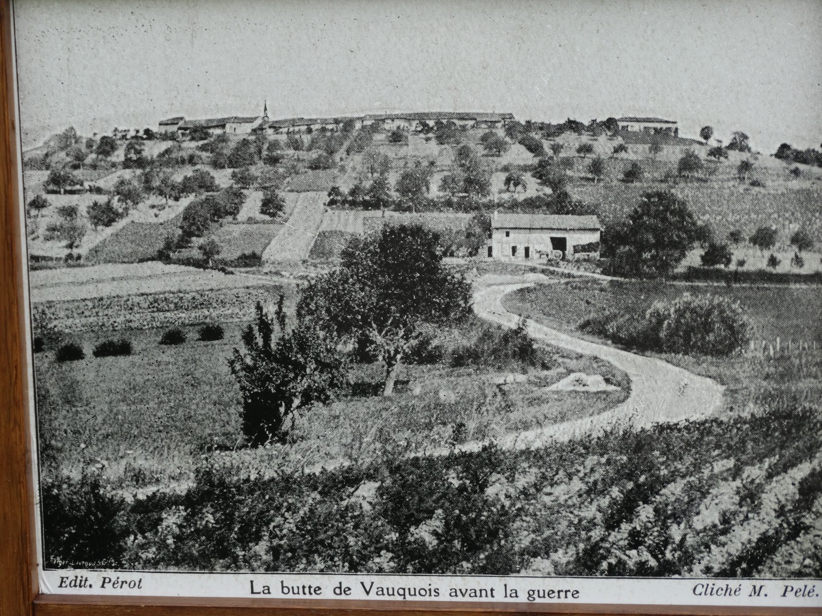
The village before it was obliterated.
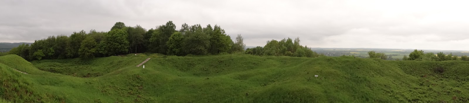


This is from 'no-mans land' looking back to the Monument on the French side. Might do a better job of showing the scale of the mine craters


I did find this visit surreal. I was the only one there (and I will post something to prove that in a minute). It was quiet. It was green.
What must it have been like in those years? What kind of hell was it?
Here is the You Tube link
http://www.youtube.com/watch?v=TyWcMQ-Zd6k
No comments:
Post a Comment